
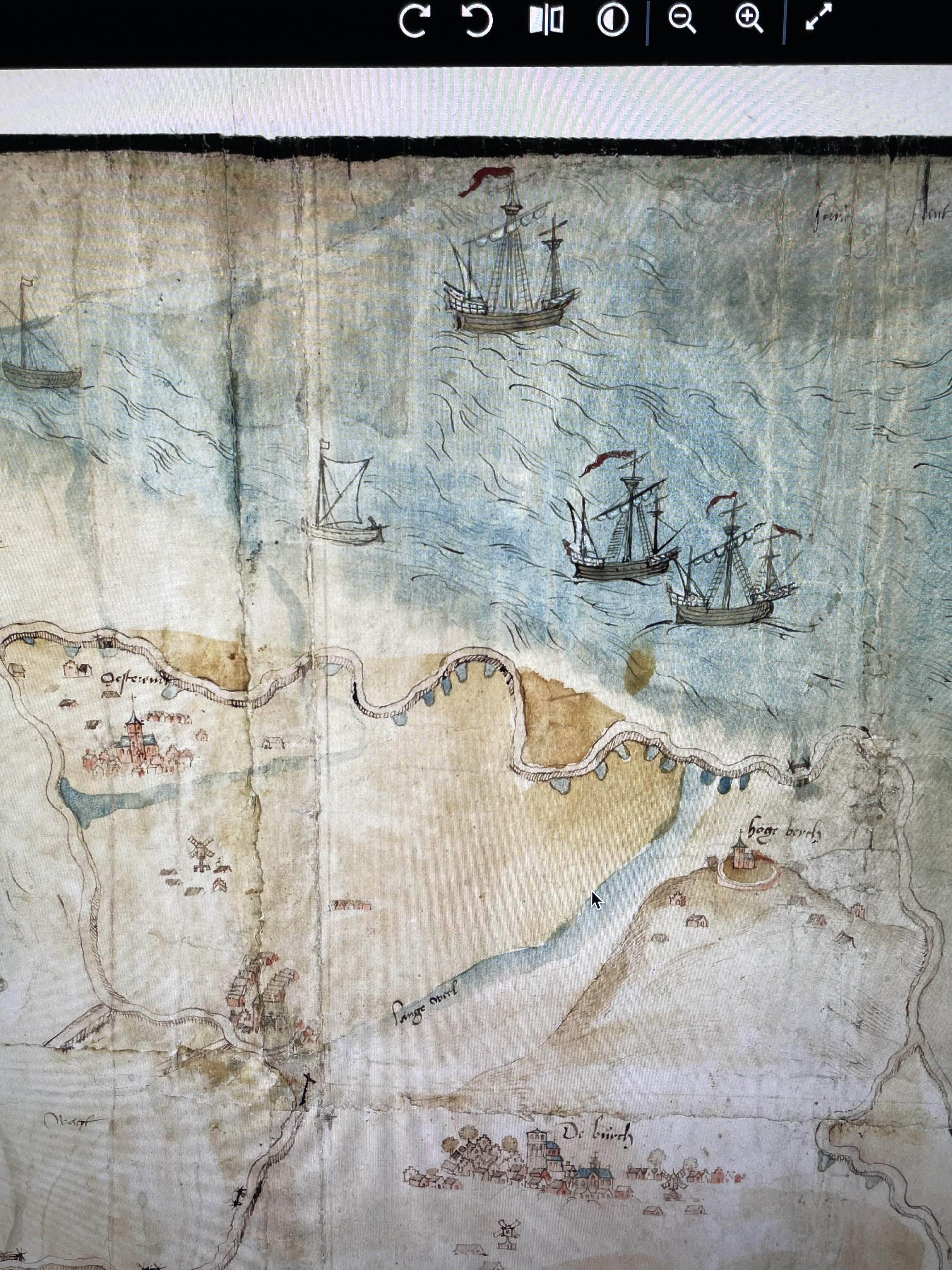
Jan van Scorel and collaborators, Map of the North Holland coastal area (detail), 1552. Pen and brush in colour with watercolour on paper on linen, with glued corrections on paper, 2.40 x 0.78 m. The Hague, Nationaal Archief, inv.nr. VHT 2486. Digital photograph of online reproduction (PowerPoint) under analysis by Lisa Mansfield (Adelaide).